“Cameroon’s Role in Global Conservation: Protecting Biodiversity for Future Generations”
Cameroon, nestled in the heart of Africa, plays a vital role in global conservation efforts. With its diverse ecosystems and rich biodiversity, the country is


Cameroon, nestled in the heart of Africa, plays a vital role in global conservation efforts. With its diverse ecosystems and rich biodiversity, the country is

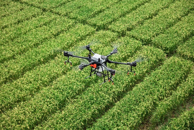
“Innovation in Action: GeoEnvi Tech’s Approach to Geospatial Solutions” Innovation is the driving force behind GeoEnvi Tech Cameroon’s unparalleled success in the realm
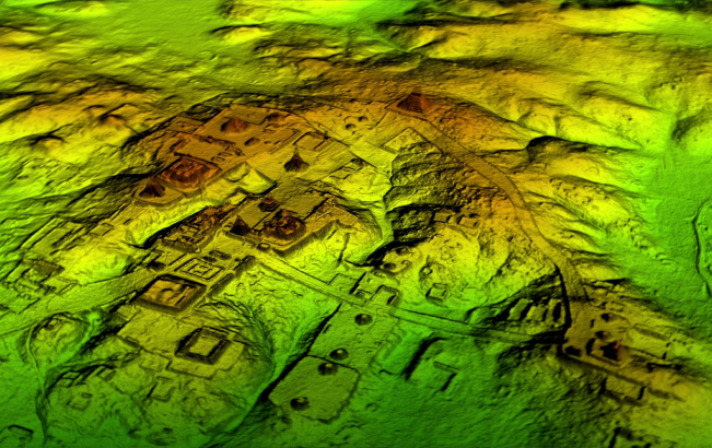
GeoEnvi Tech Cameroon: Revolutionizing Geographic Information Systems GeoEnvi Tech Cameroon stands as a pioneering force in the realm of Geographic Information Systems (GIS), setting
“GeoEnvi Tech Cameroon: Revolutionizing Geographic Information Systems” GeoEnvi Tech Cameroon stands as a pioneering force in the realm of Geographic Information Systems (GIS), setting
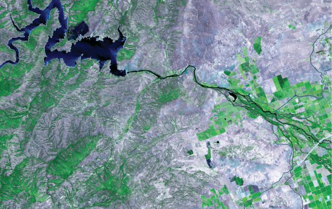
GeoEnvi Tech Cameroon plays a vital role in water and river protection in Cameroon through various initiatives and solutions. They focus on watershed management, riverbank

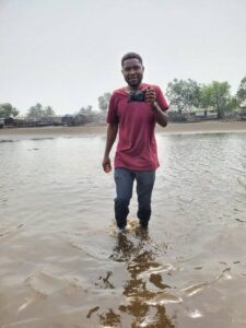
Executive Director (ED)

Director of Human Resource

UK Branch Coordinator

Chief Financial Officer

Project Coordinator

GIS Analysis